Earthquake: Evidence of a Restless Planet
Production Coordinator
California Academy of Sciences
Visualization Studio
Fulldome Film 2012
Narrated by Benjamin Bratt
This sweeping geological journey gives you front-row seats to epic seismic events, from the 1906 San Francisco earthquake to the break-up of the supercontinent Pangaea 200 million years ago.
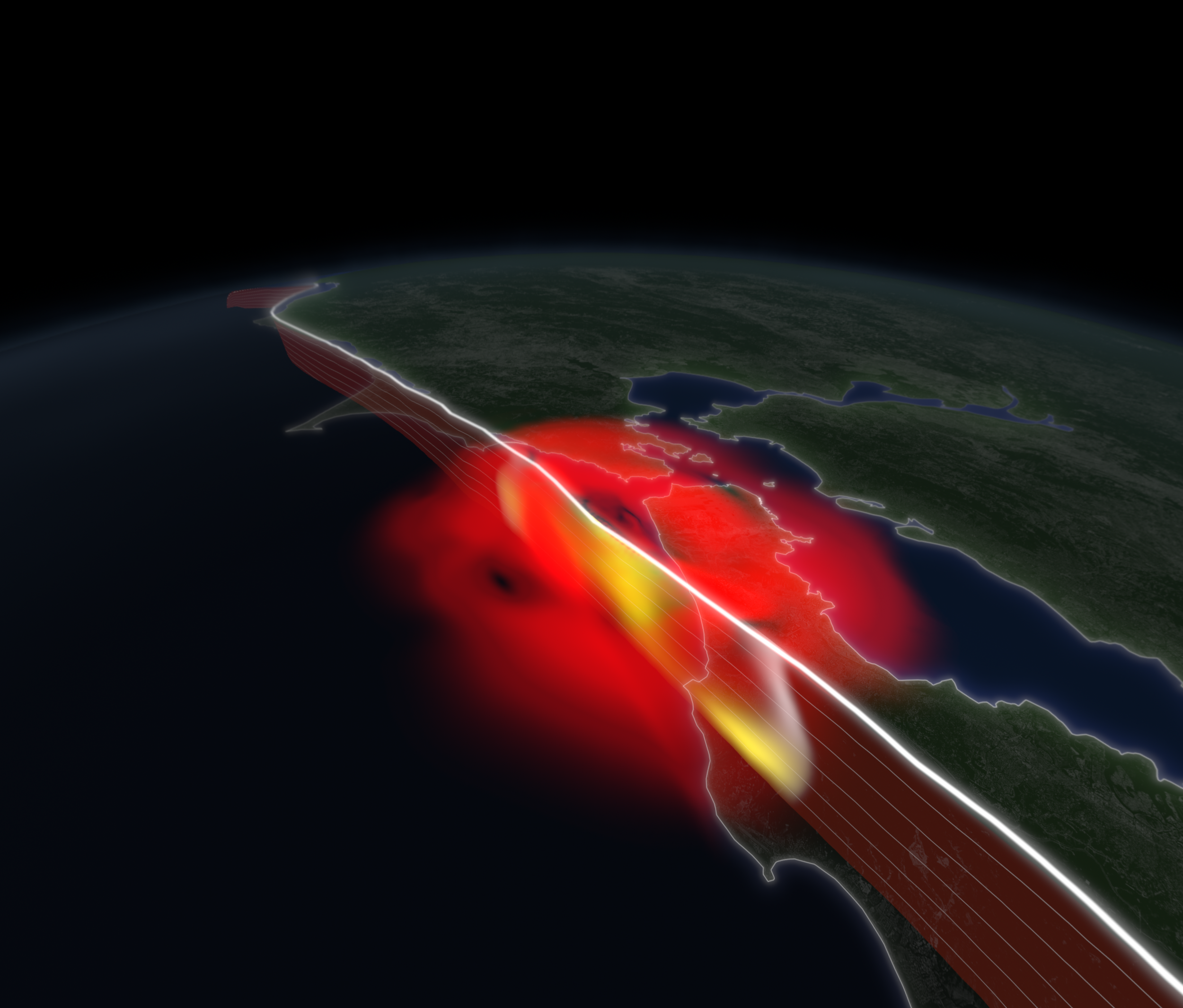
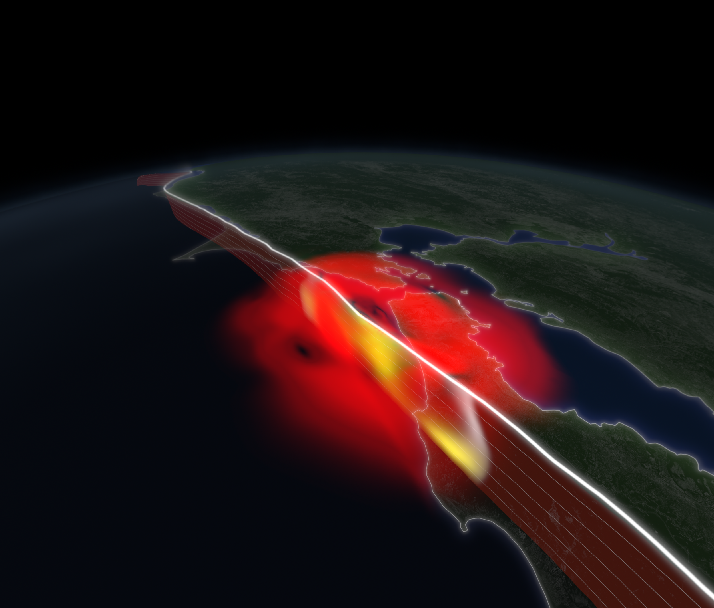
Simulation of the 1906 Earthquake, showing the spread of surface shaking and fault slippage (in red and yellow, respectively). | California Academy of Sciences, Data courtesy of Lawrence Livermore National Laboratory
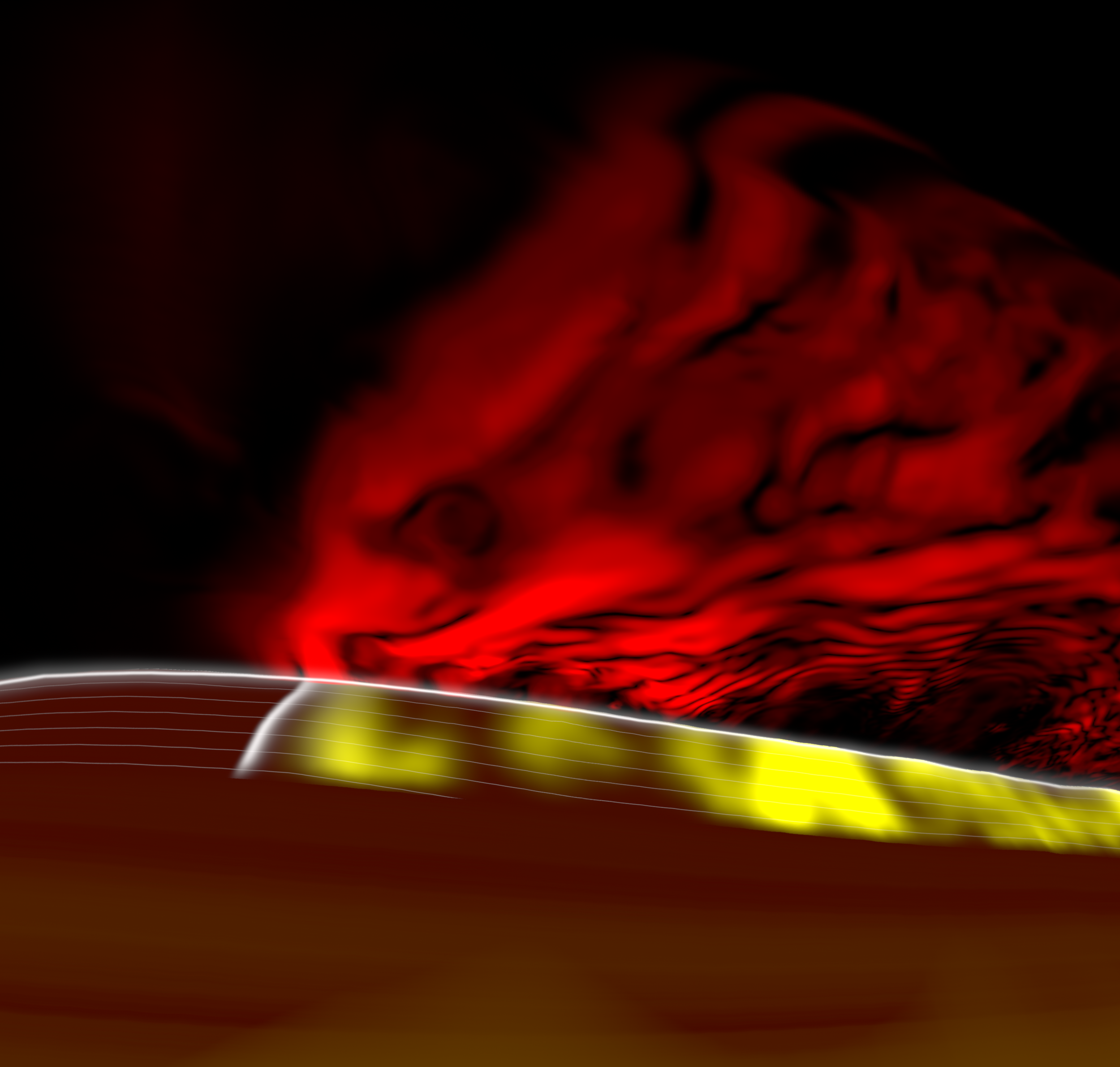
Seismic simulation showing the spread of surface shaking and fault slippage, viewed from below Earth’s crust. | California Academy of Sciences, Data courtesy of Lawrence Livermore National Laboratory
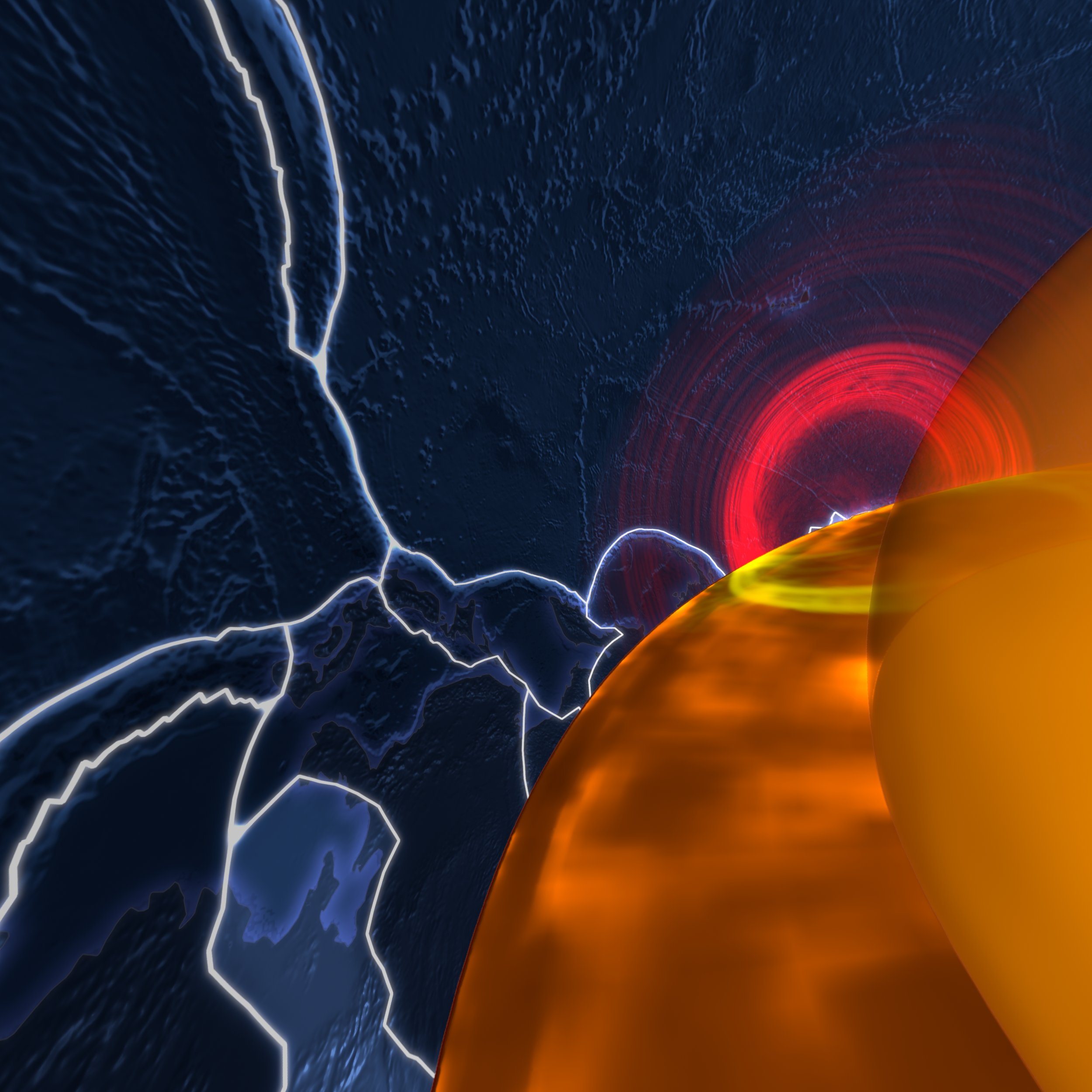
Visualization of seismic waves on the Earth’s surface above (red), and propagating through the mantle below (yellow), viewed from within the Earth. | California Academy of Sciences, Data courtesy of Lawrence Livermore National Laboratory
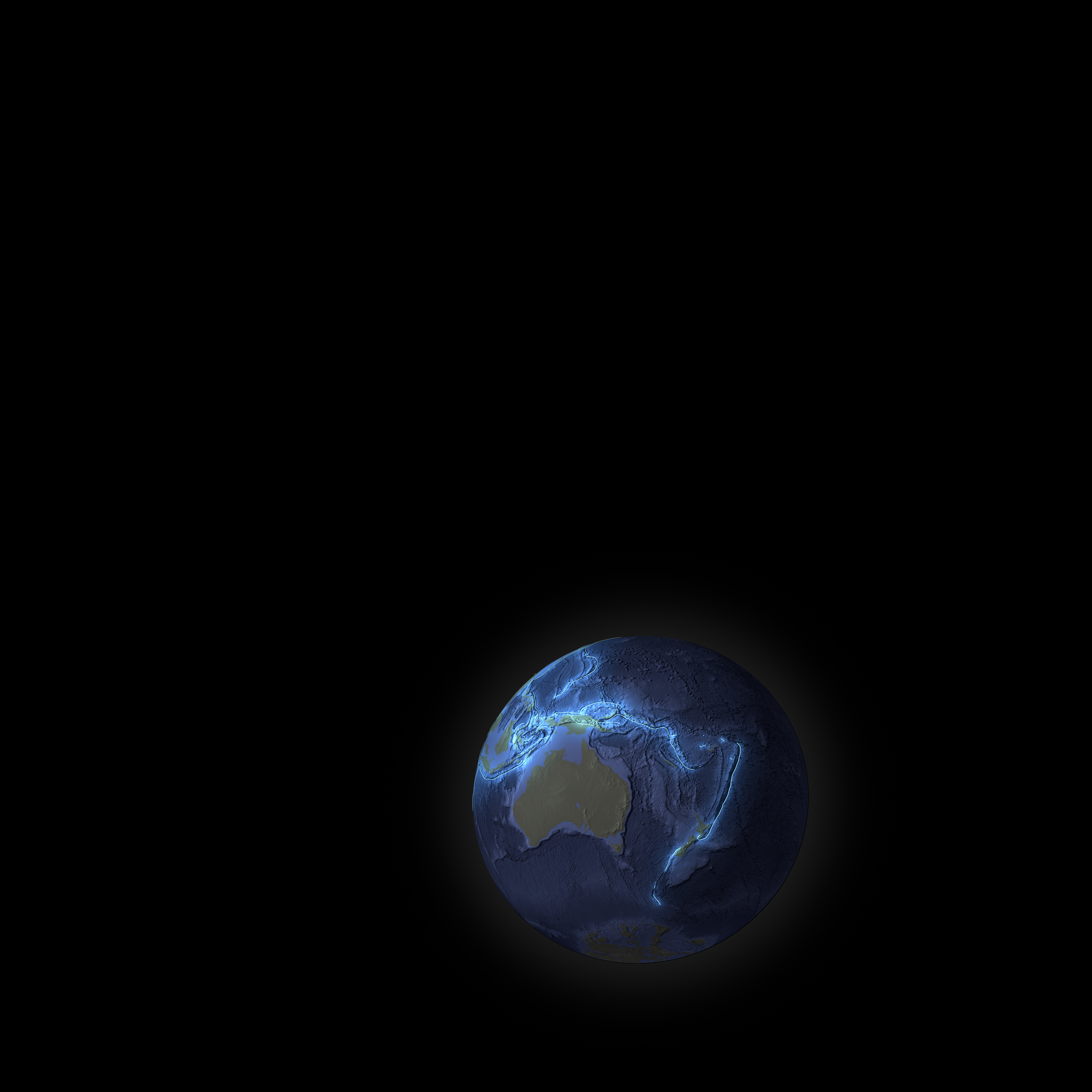
Convergent Plate Boundaries show where subduction of tectonic plates occurs. | California Academy of Sciences, Data courtesy of Peter Bird, Professor Emeritus, Deptartment of Earth and Space Sciences, UCLA
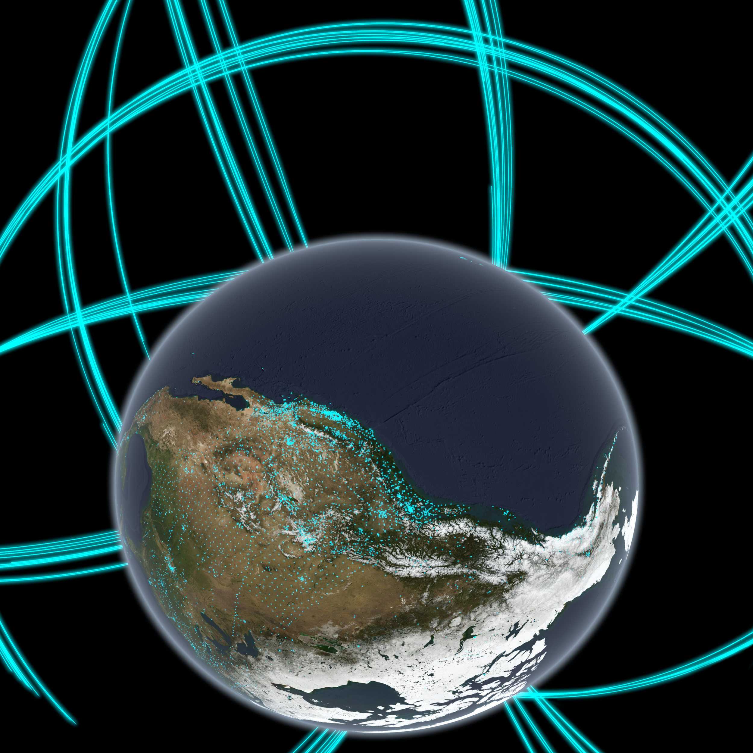
GPS satellites monitor subtle deformations in earth’s crust, caused by tectonic movement. | California Academy of Sciences, Data provided by the UNAVCO facility
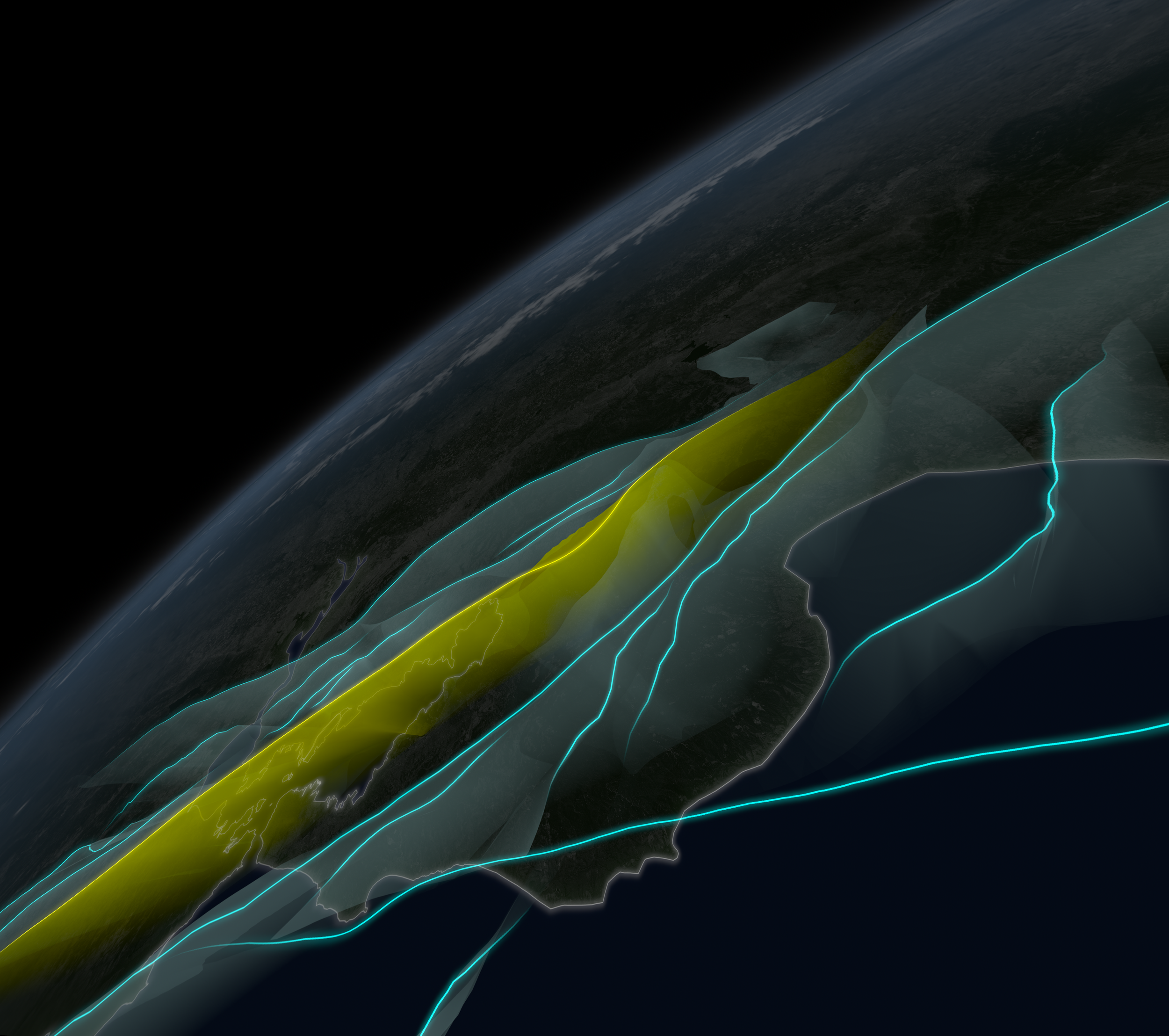
The complex fault system of the San Francisco Bay Area includes the Hayward fault, shown in yellow. | California Academy of Sciences, Data courtesy of the U.S. Geological Survey
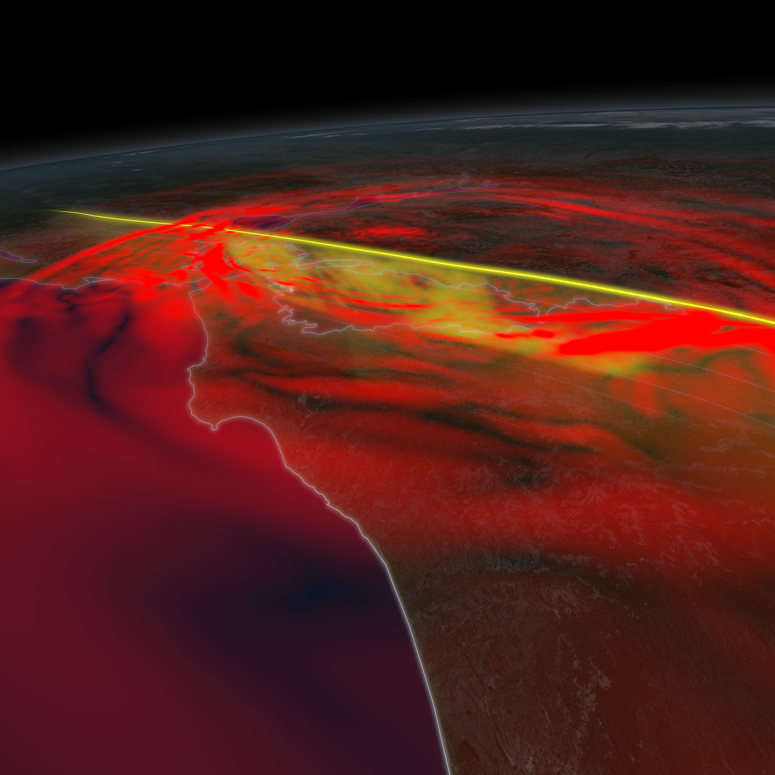
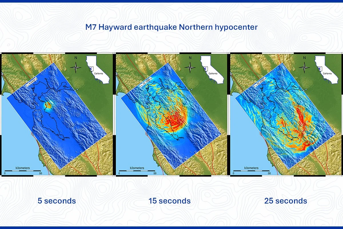
Simulation of a possible rupture scenario along the Hayward Fault. | California Academy of Sciences, Data courtesy of Lawrence Livermore National Laboratory
Production Case Study: Earthquake (2012) — Synchronizing Scientific Advisory Training and Public UX Testing Matrices
Production Role: Production Coordinator / Cross-Department Liaison
Scientific & Institutional Partners: Lawrence Livermore National Laboratory (LLNL), U.S. Geological Survey (USGS)
Historical Sourced Repositories: The Library of Congress (Sanborn Map Collection), Smithsonian Institution (Early Color Photography Archives)
Core Pipeline Functions: Archival Asset Sourcing & Licensing, 2.5D Stereoscopic Reference Mapping, Multi-Department Asset Synchronization (Exhibits & Theater), Public UX/Comprehension Matrix Testing
Software & Logistics Tracking: ShotGrid, Microsoft Excel, Custom Asset Review Databases
Earthquake: Evidence of Restless Planet | Recreating San Francisco Before the 1906 Earthquake
Historical Forensic Architecture & Supercomputer Ingestion
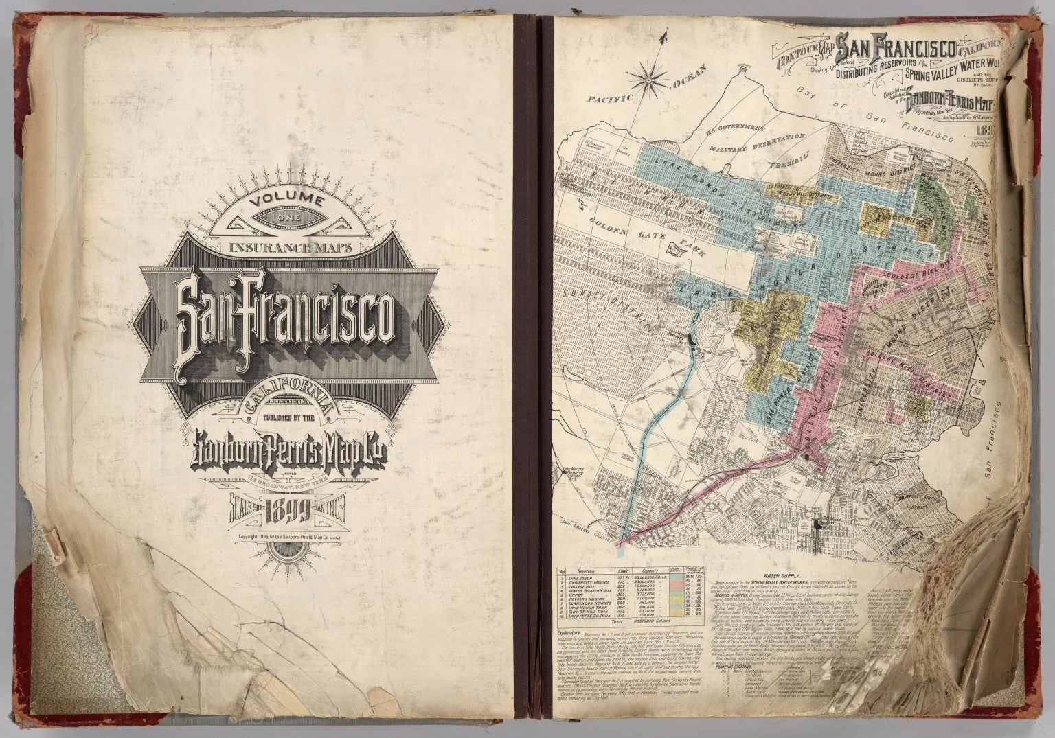
To ground the film’s central historical sequence in absolute visual reality, I executed a massive historical forensic research campaign to digitally rebuild the 1906 San Francisco streetscape. I directed the sourcing and integration of rare early 20th-century archival assets, utilizing stereophotographs for 2.5D visual depth references, pioneering color-plate photography tests taken immediately post-quake, the iconic Trip Down Market Street footage, and granular Sanborn Insurance Maps to plot exact building footprints. To blend this historical narrative with modern empirical science, we partnered with Lawrence Livermore National Laboratory (LLNL). I coordinated with the artists to ingest of LLNL’s raw seismic supercomputer data simulations of the 1906 and 1989 ruptures, allowing our animation team to translate complex tectonic telemetry into visually arresting, accurate cinematic assets.
Institutional Advisory Unification & Collaborative Audience UX Testing
To maximize the public impact of the property, we partnered with the U.S. Geological Survey (USGS) to ingest critical fault-line safety data. We spearheaded a comprehensive knowledge-transfer initiative, organizing specialized training sessions for the Visualization Studio, Exhibits, and Public Programs units to ensure that USGS behavioral safety guidelines were perfectly unified across both the theater film and the physical museum galleries. To ensure these dense scientific and safety concepts resonated with visitors, I collaborated with the education department to design and run extensive audience UX testing. By gathering feedback on scratch-track narration and work-in-progress animation clips, we iteratively refined the asset to guarantee maximum consumer engagement, clear comprehension, and flawless narrative pacing.